This is the Linux app named detectproj to run in Linux online whose latest release can be downloaded as detectprojv2j.jar. It can be run online in the free hosting provider OnWorks for workstations.
Download and run online this app named detectproj to run in Linux online with OnWorks for free.
Follow these instructions in order to run this app:
- 1. Downloaded this application in your PC.
- 2. Enter in our file manager https://www.onworks.net/myfiles.php?username=XXXXX with the username that you want.
- 3. Upload this application in such filemanager.
- 4. Start the OnWorks Linux online or Windows online emulator or MACOS online emulator from this website.
- 5. From the OnWorks Linux OS you have just started, goto our file manager https://www.onworks.net/myfiles.php?username=XXXXX with the username that you want.
- 6. Download the application, install it and run it.
SCREENSHOTS
Ad
detectproj to run in Linux online
DESCRIPTION
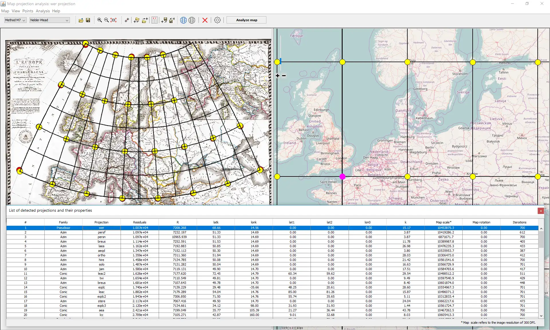
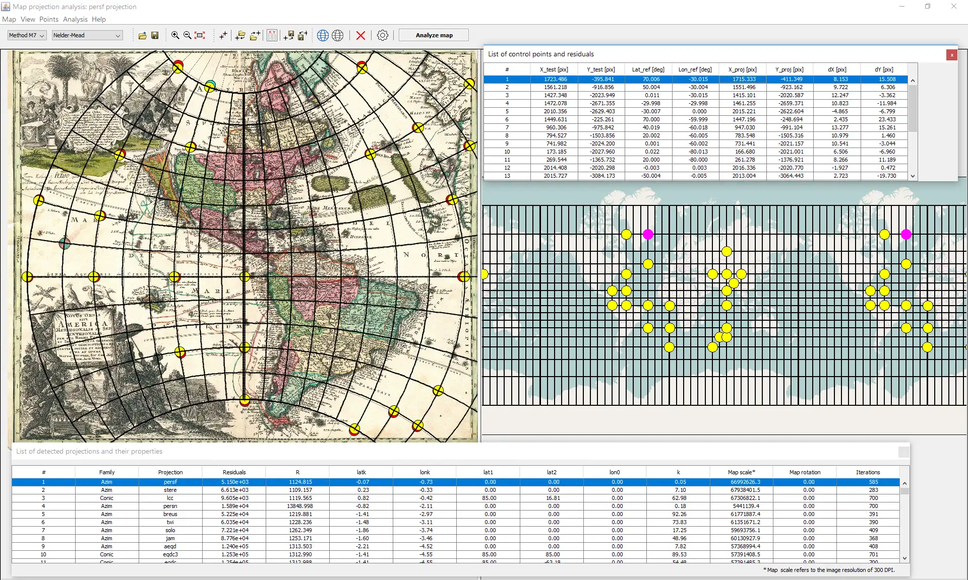
New scientific software supporting the automated detection of the early map projection and its parameters. Useful for studying and analysis of different kinds of maps with the lack of information about the map projection.The analysis is based on the minimization of residuals between control points on the early and current reference maps.
Designed for cartographers as well as for enthusiasts.
Available free of charge.
The awareness of the map projection is primarily important for:
• refinement of spatial georeference for the medium- and small-scale maps,
• analysis of the knowledge about the former world,
• location of the incorrectly/inaccurately drawn map regions.
Sytem requirements:
• 2 GHz or faster 32-bit (x86) or 64-bit (x64) processor.
• 2 GB RAM (32-bit) or 4 GB RAM (64-bit) system.
• 120 MB available hard disk space.
• JDK 1.8 +.
• Internet connection (download speed > 2Mb/s
Features
- more than 100 map projections are supported,
- detection of the projection name and its family,
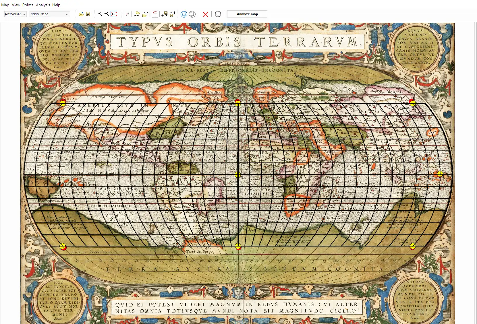
- reproject the analyzed map into the destination projection
- estimation of the normal/transverse/oblique aspect of the projection,
- detection of true parallels lat_1, lat_2,
- detection of the central parallel shift lon_0
- estimation of the map scale, map rotation (optional),
- 2 detection methods (M7, M8),
- 3 optimization techniques (hybrid BFGS, NM, DE),
- fast detection in the separate thread,
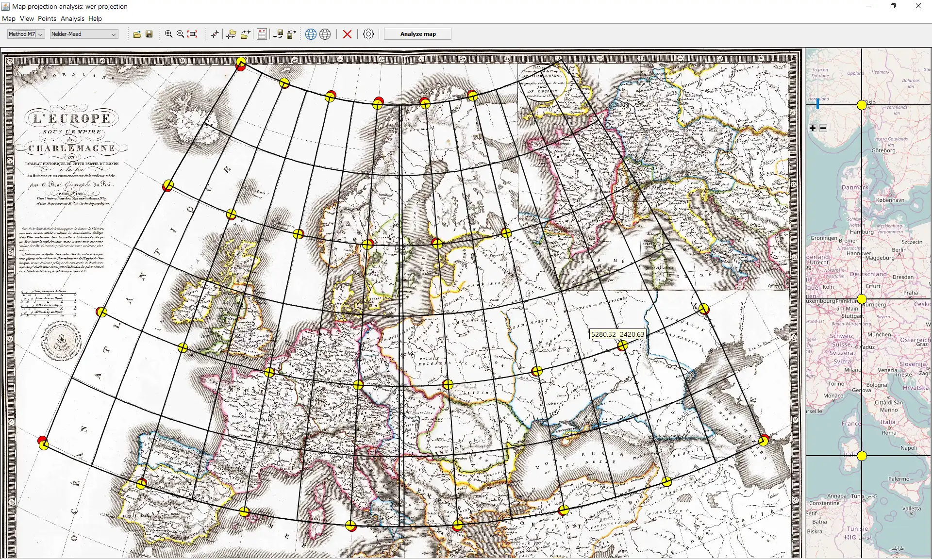
- two map windows side by side,
- Open Street Map client as the reference map,
- drag and drop operations,
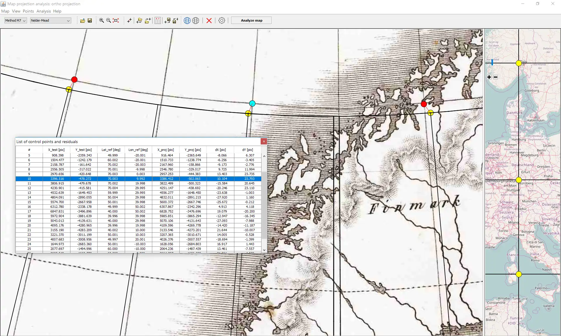
- add/edit/delete control points,
- list of candidate projections sorted by the residuals,
- visualization of the detected parameters and residuals,
- import/export of control points,
- export reconstructed graticules in DXF,
User interface
Java Swing
Programming Language
C++, Java
This is an application that can also be fetched from https://sourceforge.net/projects/detectproj/. It has been hosted in OnWorks in order to be run online in an easiest way from one of our free Operative Systems.

