This is the Windows app named GeoWE whose latest release can be downloaded as geowe-src-1.5.3.zip. It can be run online in the free hosting provider OnWorks for workstations.
Download and run online this app named GeoWE with OnWorks for free.
Follow these instructions in order to run this app:
- 1. Downloaded this application in your PC.
- 2. Enter in our file manager https://www.onworks.net/myfiles.php?username=XXXXX with the username that you want.
- 3. Upload this application in such filemanager.
- 4. Start any OS OnWorks online emulator from this website, but better Windows online emulator.
- 5. From the OnWorks Windows OS you have just started, goto our file manager https://www.onworks.net/myfiles.php?username=XXXXX with the username that you want.
- 6. Download the application and install it.
- 7. Download Wine from your Linux distributions software repositories. Once installed, you can then double-click the app to run them with Wine. You can also try PlayOnLinux, a fancy interface over Wine that will help you install popular Windows programs and games.
Wine is a way to run Windows software on Linux, but with no Windows required. Wine is an open-source Windows compatibility layer that can run Windows programs directly on any Linux desktop. Essentially, Wine is trying to re-implement enough of Windows from scratch so that it can run all those Windows applications without actually needing Windows.
SCREENSHOTS
Ad
GeoWE
DESCRIPTION
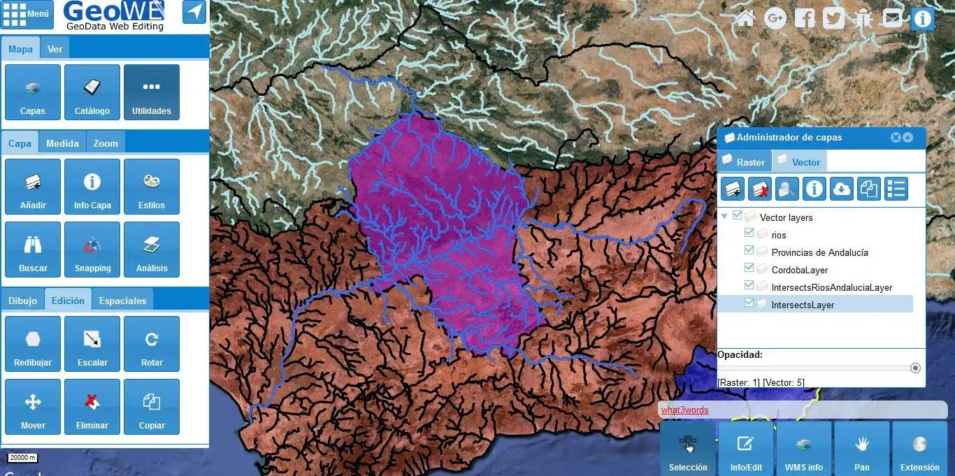
GeoWE is an open free GIS platform oriented to advanced geodata editing on The Web. The main aim of this initiative is to move the strenghts usually linked to desktop GIS to a web environment, by leveraging open source technologies. This is a free software project that is part of the open source GIS world, and it is developed in Java using the Google Web Toolkit framework.
The geowe-core is being developed using the following technologies:
- GWT (Google Web Toolkit)
- JBoss ERRAI Framework
- Sencha GXT
- GWT-OpenLayers
Features
- Advanced geodata editing
- Geolocation and geocoding support
- Geoprocessing support
- Geodata layer sharing via URL. See [External Link]
- Supported geodata open formats: KML, GML, WKT and GeoJSON
- WMS and WFS support
- Base raster layer catalog: Google Maps, OSM, Bing, etc.
- Multiple input and output options with projection transformation
- Multi-device support
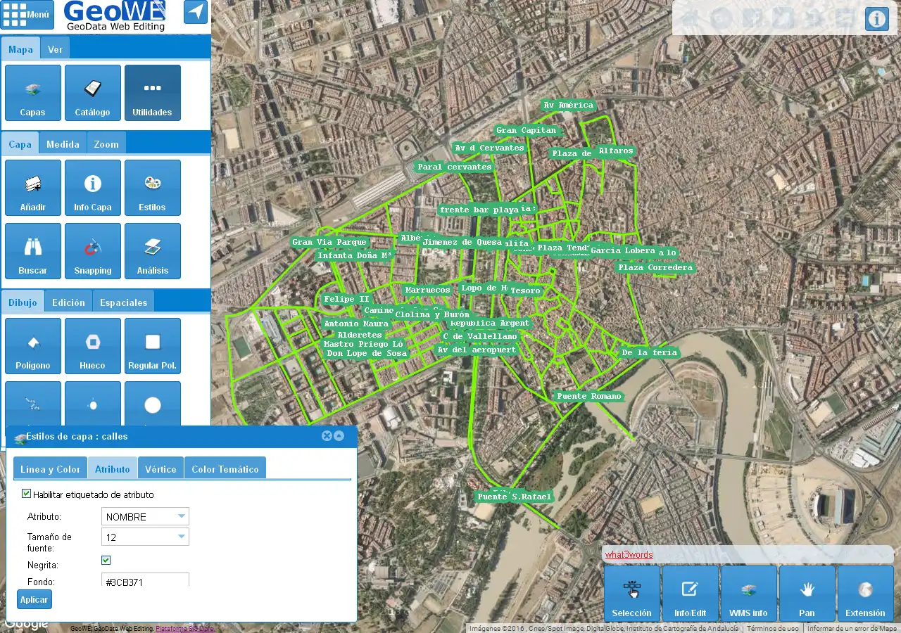
- Style and customization support
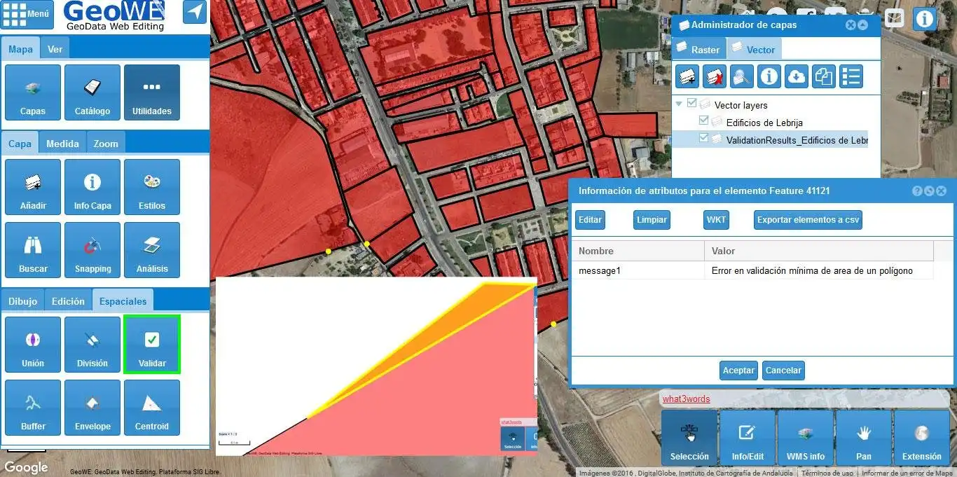
- Geometry validation features
- Live version. See [External Link]
Audience
Developers, Other Audience, Testers
User interface
Web-based
Programming Language
Java
Categories
This is an application that can also be fetched from https://sourceforge.net/projects/geowe/. It has been hosted in OnWorks in order to be run online in an easiest way from one of our free Operative Systems.


